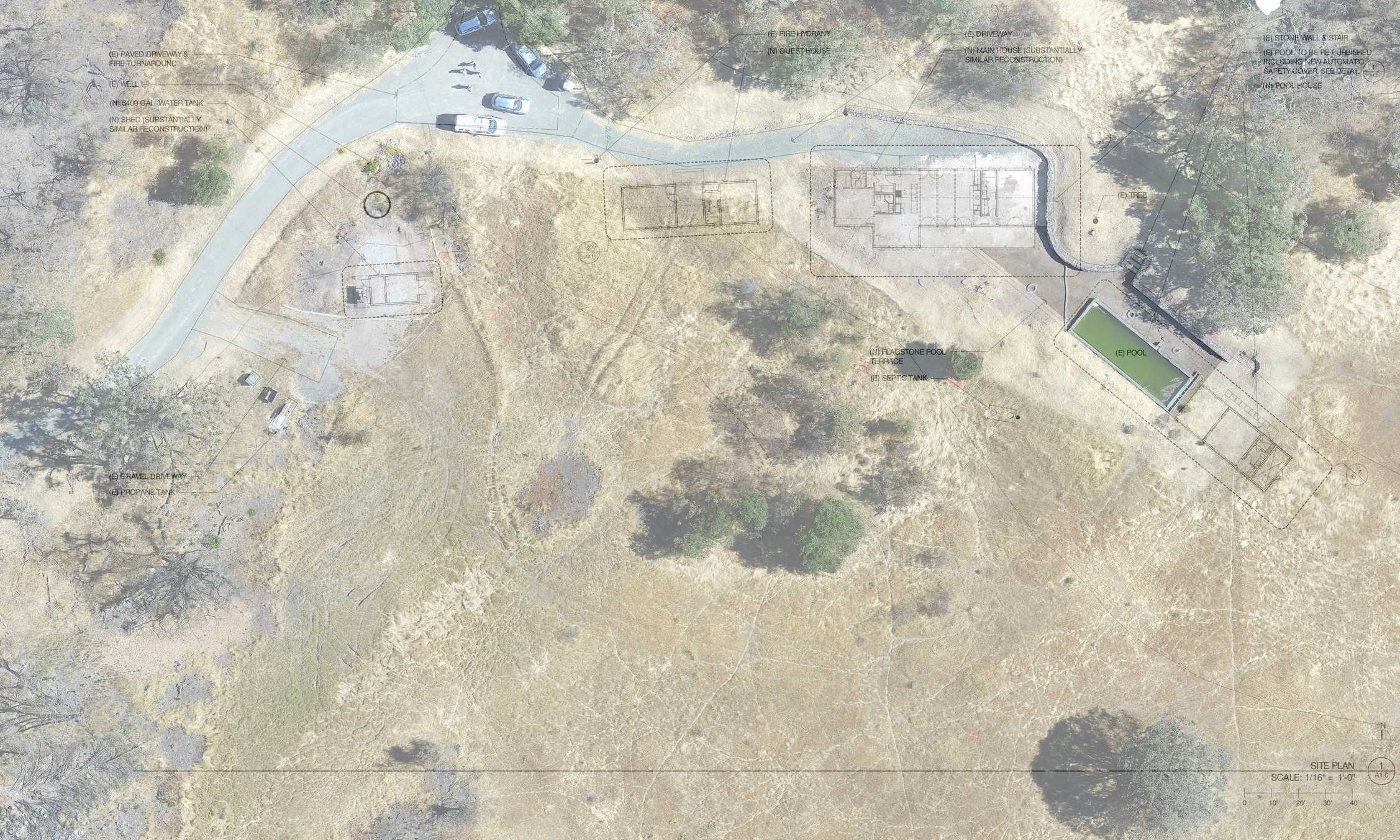
We create accurate, high definition 3D and 2D maps for architects, construction, and solar installations.
OverSite specializes in aerial mapping and photography. We use the latest technology to create accurate, scalable maps specific to our clients' needs, as well as providing high quality digital photo and video.
Architects can import our three dimensional maps directly into AutoCAD to show clients what their structures will look like in real space.
Builders and architects can overlay blueprints directly onto our two dimensional maps or redline and annotate our maps to show as-built and drainage that can be accurate up to 1/2".
Excavators and civil engineers can use our scalable color-coded elevation maps to plan drainage and utilities in the most efficient and effective lines.
While OverSite Drones primarily offers mapping and photography services in Sonoma, Marin and Napa Counties, we range across the San Francisco Bay Area and north into Mendocino County.
All maps on this site created by OverSite Drones
Learn more about our aerial photography and videography services and how you can use these services to benefit your company.


